Trail of Tears / West Barnstable Conservation Area .
Trail of Tears / West Barnstable Conservation Area
Trail Rating:
Easy: 25% | Moderate: 60% | Difficult: 15%
Location:
Parking is just off exit 5 on Route 6. From the East take right off highway then an immediate right on Service Road. Parking is approximately 300 yards down on the left.
| Trail of Tears parking. |
 | https://www.trailforks.com > Trail of Tears / West Barnstable MA |
GPX File #1:
6.1 mile introductory or mellow route 97% of which should be suitable for riders of any level. It starts off easy and then, after a warm up, get's a little harder and finishes on a series of extremely fun singletracks.
| ToTearsMellowRide.gpx |
GPX File #2:
11.3 mile intermediate route. It has almost 700 feet of climbing and has lots of hills and singletracks. It is not too technically difficult, but is significantly harder than the mellow route.
| ToT_Intermediate_Route_0.gpx |
GPX File #3:
17.3 mile advanced route that is meant to challenge you. It contains the most difficult trails at the Trail of Tears and has over 1100 feet of climbing.
| ToT_Expert_Loop_0.gpx |
Trail Map:
| WBMountainBiking.pdf |
--------
Description:
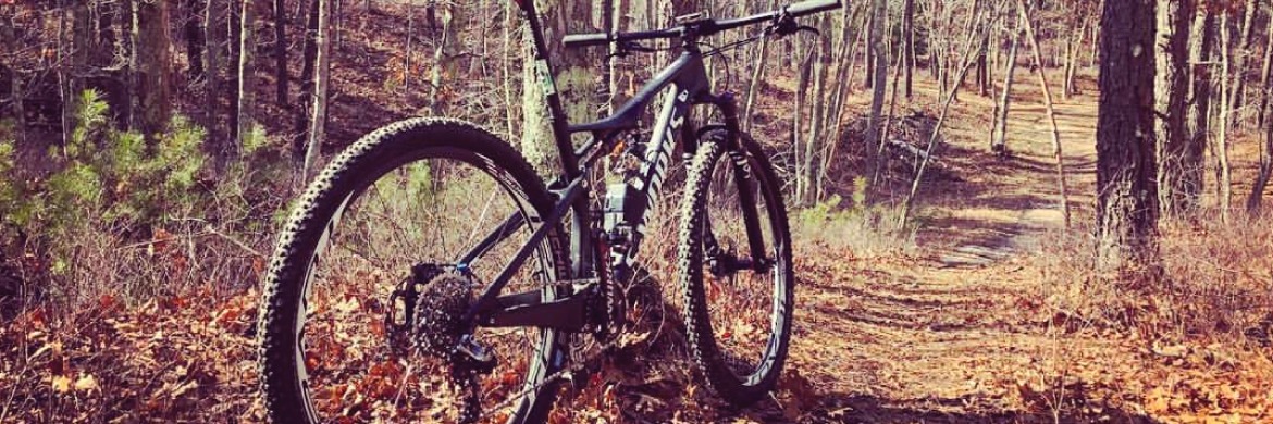
The West Barnstable Conservation Area (Also known as Trail of Tears or "TOT") is one of Cape Cod's treasures and one of its prime riding areas. The Trail of Tears is a 1200 acre parcel of conservation land in the village of West Barnstable. The main recreation focus is multi-use and revolves around mountain biking, hiking, trail running and cross country skiing. Hunting is allowed in season!!
There are approximately 21 miles of singletrack that wind throughout the Trail of Tears area. The majority of singletrack is short and steep with some very twisted sections. Though the trails are not very technical, they’re full of short steep climbs which make for a great aerobic roller coaster ride.