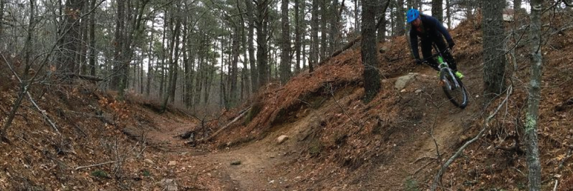
Otis / Crane Wildlife Management Area .
Otis / Crane Wildlife Management Area
Trail Rating:
Easy: 30% | Moderate: 50% | Difficult: 20%
Location:
| 188 Nathan Ellis Hwy, Falmouth Massachusetts 02536 |
 | https://www.trailforks.com > Otis / Crane WMA |
| Otis_11x17.pdf |
--------
Description:
The riding in the Bourne/Falmouth area is usually referred to as riding at Otis. The riding area abuts the Otis Air Force Base which has been officially closed to anyone except official personnel since the events of September 11th 2001.
Most people don't realize that they are actually riding on Town of Falmouth Conservation Land and The Frances Crane Wildlife Management Area, which is not part of the base. Unfortunately, there is really no physical delineation between these areas. Most people ride Otis without ever crossing into base land or seeing military police. But, if you happen to be crossing a paved road and encounter a base official, they will ask you to leave, or perhaps escort you out. They are not out there patrolling, or looking for mountain bikers in the woods. If you see what looks like base housing or the National Cemetery you are no longer in an open riding area.
